
GIS · OFFLINE-FIRST · MOBILE
Municipal Geographic Information System
Offline-First Municipal GIS
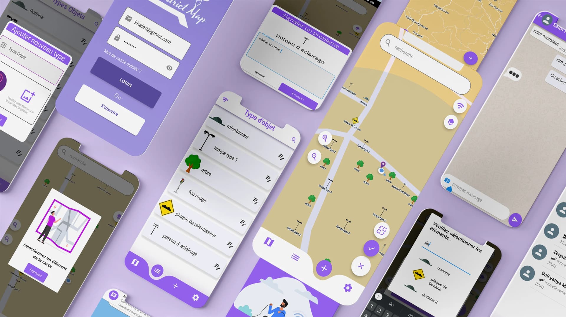
The Municipal Geographic Information System is an offline-first Flutter application designed around municipal map and field workflows.
The problem
Field-oriented municipal work cannot always assume a reliable internet connection, while map-based information still needs to remain accessible.
What I built
The application combines Flutter with map functionality and offline-first behavior for municipal field and admin workflows.
What I owned
- Lead delivery on the Flutter GIS client: map view, object placement, citizen problem declaration and field lists.
- Offline-first behavior treated as a core requirement for municipal field work.
- Web admin surfaces for reviewing problems alongside the mobile field experience.
What changed
- Municipal map workflows stay usable when connectivity is weak or missing.
- Field actions (declare, locate, review) are practical outside an office setup.
- Mobile field work and web admin review sit in one product story.
Engineering challenges
Maps
Map-based workflows need to remain usable while users work with geographic information.
Approach
Google Maps integration was shaped around municipal field tasks rather than generic map browsing.
Offline usage
The product must continue to support important workflows when connectivity is unavailable.
Approach
Offline-first behavior was treated as a core requirement for field-oriented municipal work.
Field experience
Interfaces need to remain practical when users are working outside a traditional office environment.
Approach
Screens were designed for quick field actions such as declaring problems, locating objects and reviewing lists.
Gallery
Interactive map
Stack
- Flutter
- Dart
- Google Maps
- Offline-first
Role
Lead Developer
Contact
Need similar engineering?
Building a product system and need someone who can own the hard parts — I reply on WhatsApp.